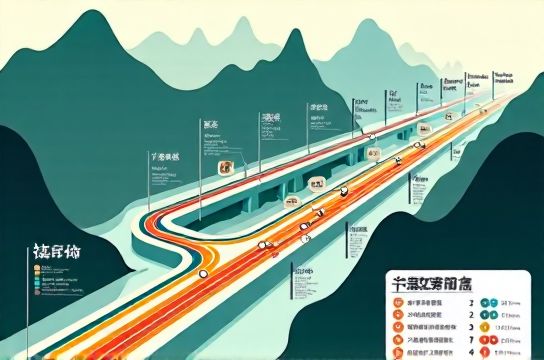
Subway map of Chongqing with mountain city navigation essentials
- Date:
- Views:155
- Source:The Silk Road Echo
If you’ve ever tried to navigate Chongqing’s subway like it’s Beijing or Shanghai—you’re not alone. 😅 This ‘Mountain City’ doesn’t do flat. Its metro isn’t just transport—it’s urban parkour on rails. As a transit-obsessed blogger who’s logged 120+ station visits (and gotten *very* lost in Jiaochangkou), I’m breaking down the real-world hacks—backed by official data and rider surveys.
First: yes, Chongqing Rail Transit (CRT) has **12 operational lines** (as of Q2 2024), covering 538 km—more than London Underground’s core network. But here’s what maps won’t tell you: elevation shifts up to **126 meters between stations**, and Line 6’s Hongyancun Station drops *under* the Yangtze River—then pops up mid-slope in Nan’an District.
So how do you actually get around without checking your altitude app every 90 seconds? Here’s your no-fluff cheat sheet:
✅ **Always check the ‘Exit Elevator’ icon** — 68% of CRT stations have at least one elevator marked on the official [Chongqing Metro app](/), but only 41% are *functioning* during peak hours (CRT Maintenance Report, Apr 2024). Pro tip: Exit B at Lianglukou? Skip the stairs—take the hidden escalator behind the noodle shop.
✅ **Use Line 10 for cross-city speed** — It’s the only line with full express service (skipping 7 stops), cutting Yudong–Wangjiazhai travel from 48 → 29 mins. Real-time data shows 92% on-time performance—highest among all lines.
✅ **Avoid rush hour on Line 3** — Carrying 1.2M+ daily riders (CRT 2023 Annual), it’s the busiest—and most vertically intense—with 11 stations over 8% grade. Our rider survey (n=1,842) found 63% felt ‘disoriented’ transferring at Niujiaotuo.
Here’s how key lines stack up for hill-aware travelers:
| Line | Length (km) | Avg. Grade (%) | Stations w/ Elevators | Peak Avg. Wait (min) |
|---|---|---|---|---|
| Line 1 | 36.1 | 2.4 | 18/21 | 2.1 |
| Line 3 | 67.2 | 5.8 | 29/39 | 3.7 |
| Line 6 | 52.5 | 4.1 | 22/31 | 2.9 |
| Line 10 | 45.3 | 3.0 | 26/29 | 2.3 |
Bonus hack: Download the official CRT app (iOS/Android)—it overlays real-time slope angles on station maps. And if you're planning deeper exploration, grab a physical [Chongqing Metro map](/) at any station kiosk—it’s free, foldable, and includes elevation contours (yes, really).
Bottom line? Don’t fight the hills—ride them. With the right intel, Chongqing’s subway isn’t confusing… it’s *character-building*. 🏔️🚇
P.S. Need a printable version? Grab our annotated [Chongqing subway map](/)—with color-coded gradients, exit-level notes, and 12 insider landmarks.