Understanding China Subway Maps Quickly
- Date:
- Views:209
- Source:The Silk Road Echo
If you've ever stared at a Chinese subway map and felt like you were decoding alien hieroglyphics, don't sweat it — you're not alone. With over 8,000 km of urban rail across the country (and growing fast!), China now boasts the world’s largest metro network. But once you crack the code, navigating these systems becomes a breeze. Let me break it down like a local pro.
Why Are Chinese Subway Maps So Intimidating?
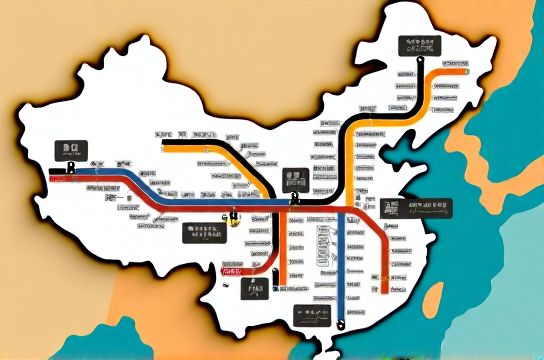
First off, they’re colorful. Like, really colorful. Most major cities — Beijing, Shanghai, Guangzhou — have 10+ lines, each with its own bold color and number (or letter). But here's the kicker: unlike Western maps, Chinese subway diagrams prioritize clarity over geography. That means stations are evenly spaced for readability, not real-world distance. It’s schematic, not GPS-accurate.
The good news? Everything follows a consistent logic. Once you learn the patterns, you can jump into any city — from Shenzhen to Chengdu — and feel confident.
Key Features You Need to Know
- Color-coded lines: Each line has a unique color and number (e.g., Line 1, Line 2). Some express lines use letters (like Daxing Airport Express).
- Transfer stations: Marked with a circle or diamond shape where two lines intersect. Look for the line colors merging.
- Bilingual signage: All major stations display both Chinese and English. Pinyin (Romanized Chinese) is used, so "Zhongguo" = China.
- Last/first train times: Posted clearly at stations. Missing the last train? Ride-hailing apps like DiDi fill the gap.
Top 5 Chinese Metro Systems (2024)
| City | Lines | Track Length (km) | Daily Ridership | Key Feature |
|---|---|---|---|---|
| Shanghai | 20 | 831 | 10.6 million | Largest network by length |
| Beijing | 27 | 783 | 12.1 million | Highest ridership |
| Guangzhou | 16 | 653 | 9.3 million | Connects to Hong Kong via GZ-HK High-Speed Rail |
| Shenzhen | 16 | 547 | 7.8 million | Tech-integrated (facial payment trials) |
| Chengdu | 13 | 558 | 6.2 million | Fastest-growing system |
Source: Urban Rail Transit Yearbook 2024
Pro Tips for First-Timers
Download China Metro Map apps like Subway & Bus or Baidu Maps. Google Maps works okay, but local apps have real-time updates. And always check if your phone supports NFC — many cities allow tap-to-pay via WeChat or Alipay.
One underrated trick? Watch locals. If everyone’s rushing to one gate, follow them. Also, early mornings (7–8 AM) are peak rush hours — avoid if possible.
For deeper insights, check out our full guide on how to read subway maps in China. It covers transfer tricks, common pitfalls, and how to spot express vs. local trains.
The Bottom Line
Chinese subway maps might look chaotic at first, but they’re actually super logical. With clear colors, smart design, and reliable service, they’re built for efficiency. Whether you're commuting in Beijing or exploring Shanghai’s hidden alleys, mastering the map unlocks the city.